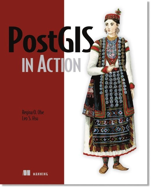
PostGIS in Action Upplaga 1
- Upplaga: 1a upplagan
- Utgiven: 2011
- ISBN: 9781935182269
- Sidor: 425 st
- Förlag: Pearson Education
- Format: Häftad
- Språk: Engelska
Om boken
Whether you're canvassing a congressional district, managing a sales region, mapping city bus schedules, or analyzing local cancer rates, thinking spatially opens up limitless possibilities for database users. PostGIS, a freely available open-source spatial database extender, can help you answer questions that you could not answer using a mere relational database. Its feature set equals or surpasses proprietary alternatives, allowing you to create location-aware queries and features with just a few lines of SQL code. PostGIS in Action is the first book devoted entirely to PostGIS. It will help both new and experienced users write spatial queries to solve real-world problems. For those with experience in more traditional relational databases, this book provides a background in vector-based GIS so you can quickly move to analyzing, viewing, and mapping data. Advanced users will learn how to optimize queries for maximum speed, simplify geometries for greater efficiency, and create custom functions suited specifically to their applications. It also discusses the new features available in PostgreSQL 8.4 and provides tutorials on using additional open source GIS tools in conjunction with PostGIS. Purchase of the print book comes with an offer of a free PDF, ePub, and Kindle eBook from Manning. Also available is all code from the book.
Åtkomstkoder och digitalt tilläggsmaterial garanteras inte med begagnade böcker
Mer om PostGIS in Action (2011)
I maj 2011 släpptes boken PostGIS in Action skriven av Regina O. Obe, Leo Hsu. Det är den 1a upplagan av kursboken. Den är skriven på engelska och består av 425 sidor djupgående information om data. Förlaget bakom boken är Pearson Education.
Köp boken PostGIS in Action på Studentapan och spara pengar.
Tillhör kategorierna
Referera till PostGIS in Action (Upplaga 1)
Harvard
Obe, R. O. & Hsu, L. (2011). PostGIS in Action. 1:a uppl. Pearson Education.
Oxford
Obe, Regina O. & Hsu, Leo, PostGIS in Action, 1 uppl. (Pearson Education, 2011).
APA
Obe, R. O., & Hsu, L. (2011). PostGIS in Action (1:a uppl.). Pearson Education.
Vancouver
Obe RO, Hsu L. PostGIS in Action. 1:a uppl. Pearson Education; 2011.
citeproc-js implements the Citation Style Language. (c) Frank Bennett. Licenser och källkod.